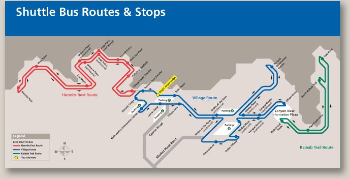
This diagrammatic map is designed to show the complexity of stops and direction of the bus route on Grand Canyon’s South Rim.


This diagrammatic map is designed to show the complexity of stops and direction of the bus route on Grand Canyon’s South Rim.