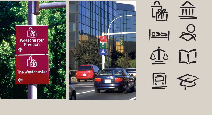
White Plains is the government, retail, and business center of Westchester County. Its downtown was redeveloped as a series of nodes and large multi-block developments that are navigated via a network of one-way streets. Orientation and wayfinding were very confusing for an infrequent visitor. Our assignment was to implement an urban wayfinding system to primary civic and commercial destinations that was clearly presented, visually inviting, and easy to understand. The location is identified on a color-coded panel with one of eight symbols used to affirm the destination. Recipient: Westchester Planning Association Award.


